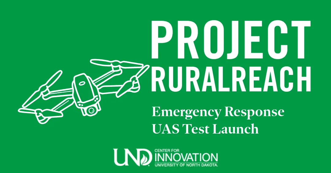
Date: Wednesday, September 10, 2025 Time: 9:00 AM Location:Gorman Field UAS Test Range, 1209 24th St NE, Emerado, ND 58228
As part of Project RuralReach, Censys Technologies has been selected to lead a critical use case test focused on improving disaster response, real-time situational awareness, and resource mobilization through advanced unmanned aircraft systems (UAS).
This live demonstration will highlight how UAS technology can be deployed in emergency scenarios to support first responders and rural communities.
Flight Timeline:
9:00 AM – Welcome & overview of Censys Technologies and Project Rural Reach
9:15 AM – Launch #1: Search & Rescue Mission
11:00 AM – Land & open Q&A session (payload swap)
11:15 AM – Launch #2: Transmission Line Flyover (~30 min)
1:00 PM – Land & payload swap
1:30 PM – Launch #3: Data Collection (RGB & LiDAR)
3:00 PM – Final landing & event conclusion
📢 Who’s Invited: Media representatives, community members, and anyone interested in seeing cutting-edge UAS technology in action.
This is a unique opportunity to experience Project RuralReach in motion — testing real-world drone solutions designed to strengthen rural resilience and emergency response capabilities.
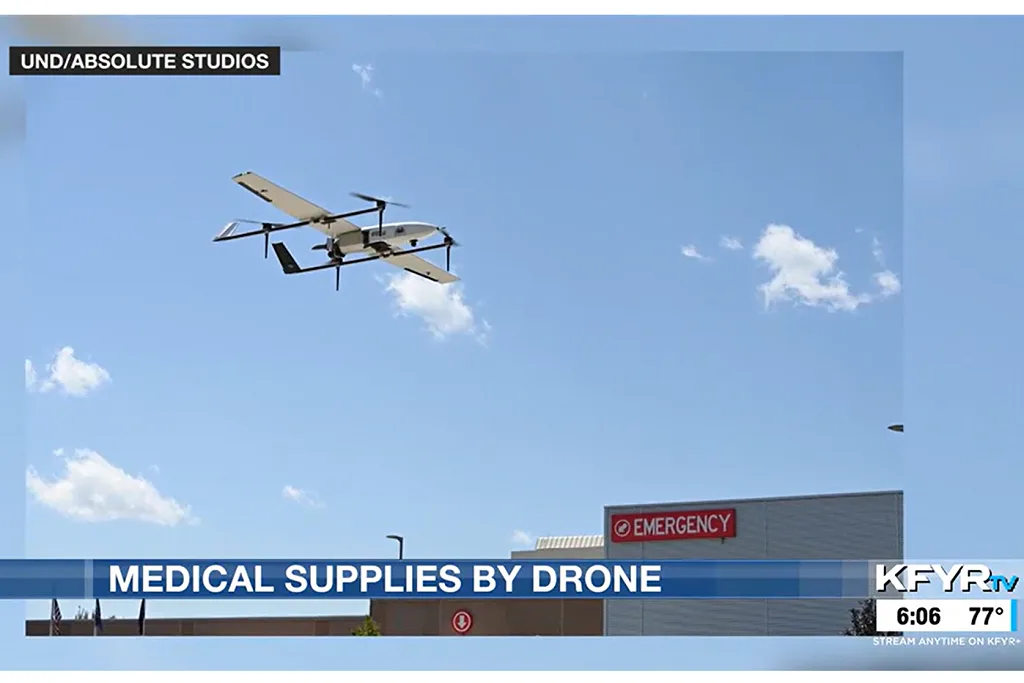
Project Rural Reach flight carries medical supplies from Williston, N.D., to Watford City, N.D., in just over 35 minutes
Dr. Ben Kazim of McKenzie Health, a hospital and clinic in Watford City, N.D., receives medical supplies at the hospital from the drone. Photo courtesy of Absolute Studios.
In a notable step toward improving health care access in rural communities, Project Rural Reach successfully launched its first long-range drone delivery flight on July 24. The mission showed how unmanned aircraft systems can bridge critical gaps in medical logistics across North Dakota’s rural landscape.
“The 80-mile flight carried medical supplies over the western North Dakota prairie, from Williston to Watford City,” reported AirMed&Rescue, a publication dedicated to the international air medical and search-and-rescue community.
“The trial demonstrates the real-world potential of Beyond Visual Line of Sight or BVLOS drone deliveries in rural areas,” the story continued. “Unlike previous deliveries, which were conducted in tightly controlled urban environments, this mission aimed to demonstrate the ability of drones to navigate a ‘dynamic, uncontrolled airspace, populated by low-flying, non-cooperative aircraft.’”
Jeff Barta, project manager for UND’s Center for Innovation, noted that the successful delivery took only a little over a half hour. That’s important: “Instead of a delivery taking 60 to 90 minutes from start to finish, UAS technology can complete emergency medication deliveries in 35 minutes,” he said.
“Those saved minutes could mean the difference between life and death, especially in underserved rural areas.”
Project RuralReach is a federally funded initiative initiative led by the Center for Innovation in partnership with the Northern Plains UAS Test Site, Vantis, iSight Drone Services and McKenzie Health, a hospital and clinic in Watford City, N.D. It was funded by the U.S. Economic Development Administration (EDA) through its ARPA Economic Adjustment Assistance Program.
This first use case initiative showcases the power of UAS to improve access to rural health care supplies, while testing the capabilities of North Dakota’s statewide Vantis network, the nation’s first UAS system for beyond visual line of sight flights.
“The use of drones has the potential to enhance the delivery of health care by rapidly transporting crucial lab samples, medications and supplies to and from remote clinics and locations,” said Peter Edis, CEO of McKenzie Health. “This technology can reduce delays caused by geographic isolation, harsh weather or staffing shortages. By improving logistics, drones can help ensure timely care, continuity of services and better patient outcomes — especially when time is of the essence.”
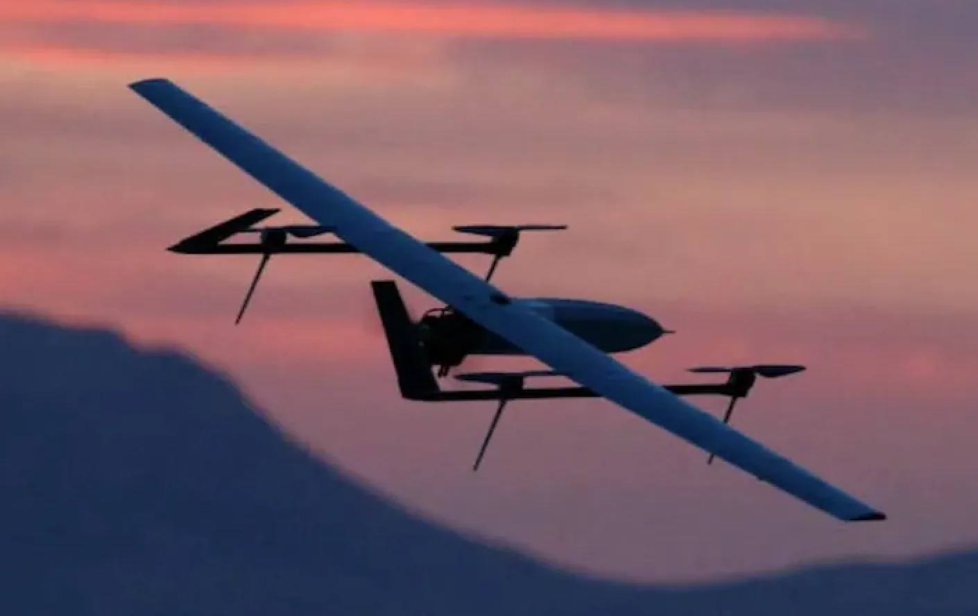
In this screenshot from a KFYR-TV news report, the Supervolo drone operated by iFlight Drone Services is shown arriving at its destination in Watford City, N.D.
The Supervolo drone, measuring just over 6 feet long and with a wingspan of nearly 10 feet, was operated by iSight Drone Services of Grand Forks, N.D.
The successful launch marks the beginning of a series of flight tests aimed at evaluating how UAS technology can be integrated into health care infrastructure to serve remote communities more efficiently. Future flights will expand to additional rural areas and include further use cases to examine power needs and partnerships with emergency responders.
“Rural communities don’t have the luxury of cooperative-only airspace,” said Erin Roesler, deputy executive director of the Northern Plains UAS Test Site. “What makes this operation so impactful is that it proves BVLOS can be done safely, even in complex, real-world rural environments, and that it can bring real value to North Dakota communities.”
In a few weeks, the next flight will use Censys Technologies’ drones to evaluate the resources, technology and infrastructure needed to deploy drones in partnership with emergency responders as part of disaster response, real-time situational awareness and crisis resource mobilization. This data will build on this first use case for rural medical care supply delivery.
For UND and its partners, Project Rural Reach is more than a tech demonstration, Barta said. It’s part of a bold vision for transforming rural health care through innovation and collaboration.
What: Project RuralReach will launch its first use-case test with a long-range drone flight, demonstrating the potential of unmanned aircraft to connect rural communities with medical goods using the Vantis system.
The flight will feature a Supervolo drone operated by iSight Drone Services and showcase a 34-mile Beyond Visual Line of Sight (BVLOS) journey between Williston and Watford City, N.D.
When: Thursday, July 24, 2025 9 a.m. (weather permitting)
Where: Launch from Williston TrainND Unmanned Aerial Systems (UAS) park, located at 1500 E. Dakota Parkway, Williston, N.D.
Landing at Watford City Municipal Airport, 200 12th Street Southeast, Watford City, N.D. (One-hour drive between locations)
Flight Details:
34-mile flight path
Up to 4,000 feet in altitude
iSight drone operated on the Vantis statewide UAS network
Estimated flight duration: ~1 hour
Why It Matters: The flight will mark a key milestone in North Dakota’s commitment to advancing unmanned aircraft systems (UAS) for public benefit, improving connectivity, delivery, and emergency response across rural regions. Project RuralReach aims to demonstrate real-world drone applications in sparsely populated areas.
Visual Opportunities:
Drone launch and landing
Interviews with flight operators and project stakeholders
Behind-the-scenes look at UAS flight prep and live tracking
Media Contact:
Haylee Bjork, Marketing Outreach Coordinator Organization: UND Center for Innovation